About Vardent
An independent data infrastructure, technology architecture, and research entity dedicated to building complete integrity and shared value across agricultural commodity systems.
To strengthen agricultural commodity supply chains by delivering trusted verification, data-driven technologies, and knowledge systems that enable transparency, resilience, and equitable participation for producers, businesses, and consumers.
To establish a transparent global marketplace where sustainability is supported by verified evidence, smallholders are fairly rewarded, and communities possess the spatial data capital required to thrive.
Our Key Sectors
Smallholder Farmers
Optimizing value chains, ensuring fair producer inclusion, and mapping structural asset models across African farming networks.

Global Commodity Markets
Bringing enterprise-grade traceability, climate compliance data, and verification infrastructure to global buyers.

Geospatial Intelligence
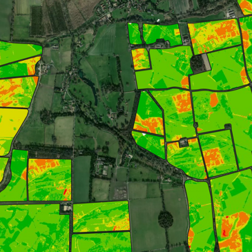
Leveraging telemetry, satellite mapping, and high-performance field data to turn landscapes into actionable insight.

Digital Public Goods
Building open-access framework elements, ecosystem capacity, and digital tools for sustainable governance.
What Makes Us Different
The Vardent Way
We do not rely on assumptions. Every sustainability metric we evaluate is rooted in independently verified, unalterable field-level proof.
Localized Technology Hardware
We match cloud-based geospatial ecosystems with rugged handheld physical tracking hardware designed specifically for complex field environments.
Grassroots Ecosystem Integration
From training cocoa youth networks in digital literacy to advising enterprise management, we operate at every tier of the commerce chain.
Global Supply Chain Realities
Our work target addresses systemic informational data problems on a macro global scale. Without clear data metrics, supply risks compound daily.
Of global cocoa supply chains rely on fragmented data structures prone to market verification gaps.
Regulations demanding total geolocated plot proof for imports, making legacy compliance systems obsolete.
In institutional capital locked away annually from producers due to unmapped land tenure and missing farm plans.
More efficient data scaling achieved when community-led spatial literacy models are actively deployed.
Our Collaboration Model
1. Assess & Diagnose
We audit current supply chain tracking models to pinpoint regulatory gaps and structural land assessment needs.
2. Deploy Architecture
We ship specialized handheld tracking GPS devices, build dedicated geospatial layouts, and structure research frameworks.
3. Verify & Scale
We run independent analytics, train local communities, and deliver trusted commercial evidence to global markets.
What is your key challenge?
Speak to our team to find out how Vardent can help you with your data and technology needs.